Maps for the New World
Posted by jason on 13/01/20 at 02:55 PM
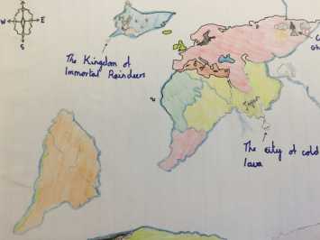
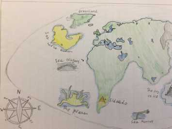
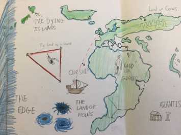
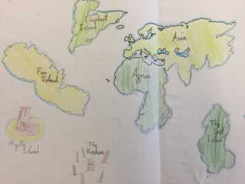
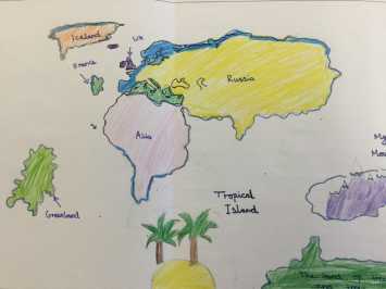
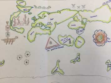
Year 6 have been looking at maps of the world in Tudor times. They have created a map of the world as the Tudors would have seen it. It is based on some knowledge, hearsay and simple guess work. None of the children were allowed to look at a real map when working, so that they could understand how difficult it would have been to make accurate maps during that period.
Year 6 have been looking at maps of the world in Tudor times. They have created a map of the world as the Tudors would have seen it. It is based on some knowledge, hearsay and simple guess work. None of the children were allowed to look at a real map when working, so that they could understand how difficult it would have been to make accurate maps during that period.

